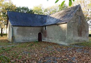
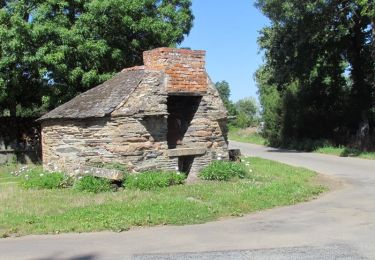
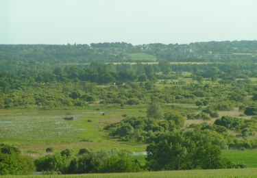
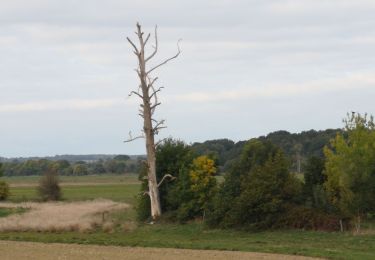
14.3 km | 16.3 km-effort
LA CHAPELLE DE BRAIN
LOICFOUCRIT
User
Length
17.8 km
Max alt
71 m
Uphill gradient
237 m
Km-Effort
21 km
Min alt
0 m
Downhill gradient
235 m
Boucle
Yes
Creation date :
2024-09-25 09:12:24.977
Updated on :
2024-09-25 09:13:01.867
4h46
Difficulty : Very difficult
FREE GPS app for hiking
About
Trail Walking of 17.8 km to be discovered at Brittany, Ille-et-Vilaine, La Chapelle-de-Brain. This trail is proposed by LOICFOUCRIT.
Description
LA CHAPELLE DE BRAIN
Positioning
Country:
France
Region :
Brittany
Department/Province :
Ille-et-Vilaine
Municipality :
La Chapelle-de-Brain
Location:
Unknown
Start:(Dec)
Start:(UTM)
579900 ; 5283423 (30T) N.
Comments
Trails nearby
Crêtes et Rivière - La Chapelle de Brain
Walking
Medium
(1)
La Chapelle-de-Brain,
Brittany,
Ille-et-Vilaine,
France
12.6 km | 15.1 km-effort
3h 10min
Yes
Circuit de Renac n°10
Cycle
Difficult
Renac,
Brittany,
Ille-et-Vilaine,
France
37 km | 42 km-effort
2h 30min
Yes
Entre chapelles, rivières et marais, de Langon à Bains sur Oust
Equestrian
Difficult
Langon,
Brittany,
Ille-et-Vilaine,
France
30 km | 34 km-effort
3h 0min
No
Vallées, landes et mégalithes entre Langon et Cournon
Equestrian
Difficult
Langon,
Brittany,
Ille-et-Vilaine,
France
33 km | 39 km-effort
3h 0min
No
Circuit des rivières et des marais - La Chapelle-de-Brain
Walking
Difficult
La Chapelle-de-Brain,
Brittany,
Ille-et-Vilaine,
France
14.1 km | 15.9 km-effort
3h 30min
Yes
Circuit des Marais - Massérac
Walking
Difficult
Massérac,
Pays de la Loire,
Loire-Atlantique,
France
15.3 km | 16.9 km-effort
3h 49min
Yes
190- les 2 rives par Painfaut
Walking
Easy
Avessac,
Pays de la Loire,
Loire-Atlantique,
France
14.7 km | 16.3 km-effort
3h 24min
Yes
Avessac 5 km
Walking
Easy
Avessac,
Pays de la Loire,
Loire-Atlantique,
France
5.1 km | 5.7 km-effort
1h 40min
Yes